Building date: Very early
Original use: Schoolhouse
Corner structures:
Mortar application and content:
Types and uses of stones:
Types and choice of windows:
Structures with similar masonry details:
Masons who worked on building:
Unique features:
Map views courtesy Google Maps. Address is Google Earth confirmed; 43°01'29.50"N 76°54'53.15"W.
Town of Galen and Wayne County 1978 Highway Maps
Marengo District #12 Schoolhouse history sheet. From the personal research of cobblestone historian Karen Crandall.
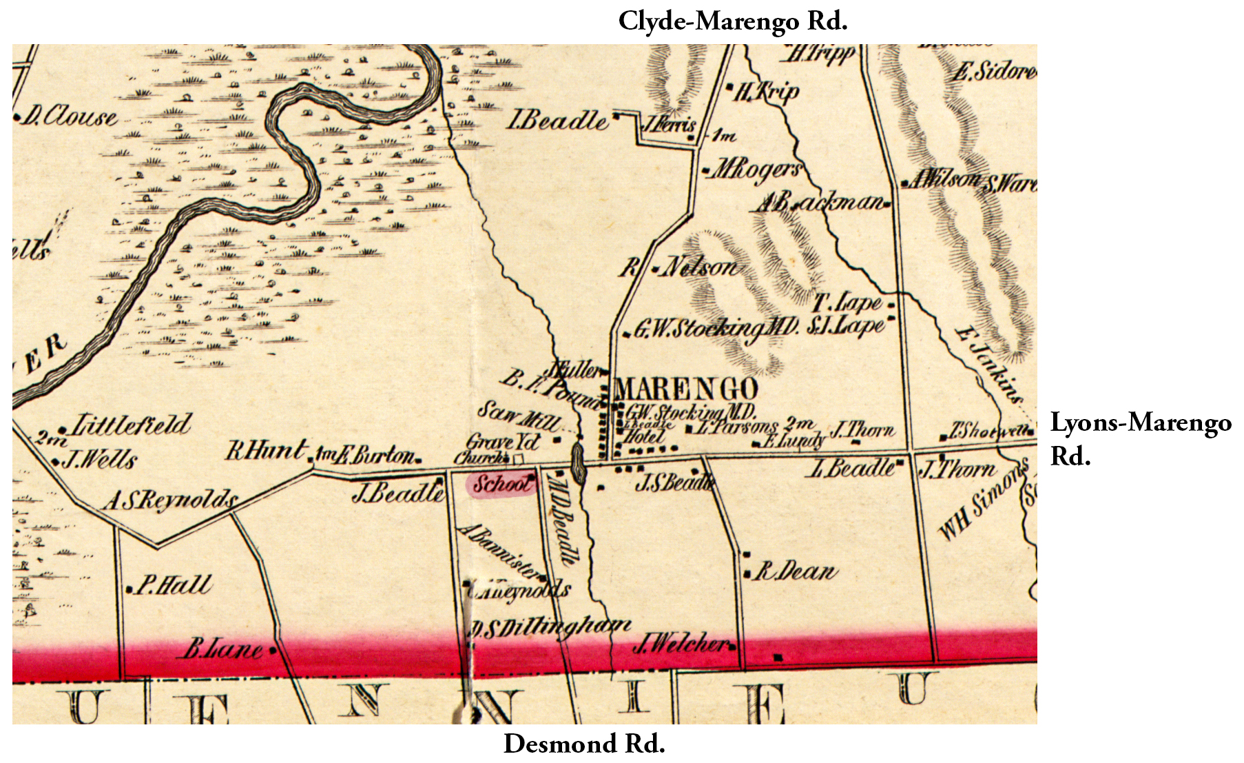 1853 Wayne County Gal-12 Excerpt Map.jpg ¹ | 
|
¹ 1853 Wayne County Was-13 Excerpt Map courtesy Library of Congress.
